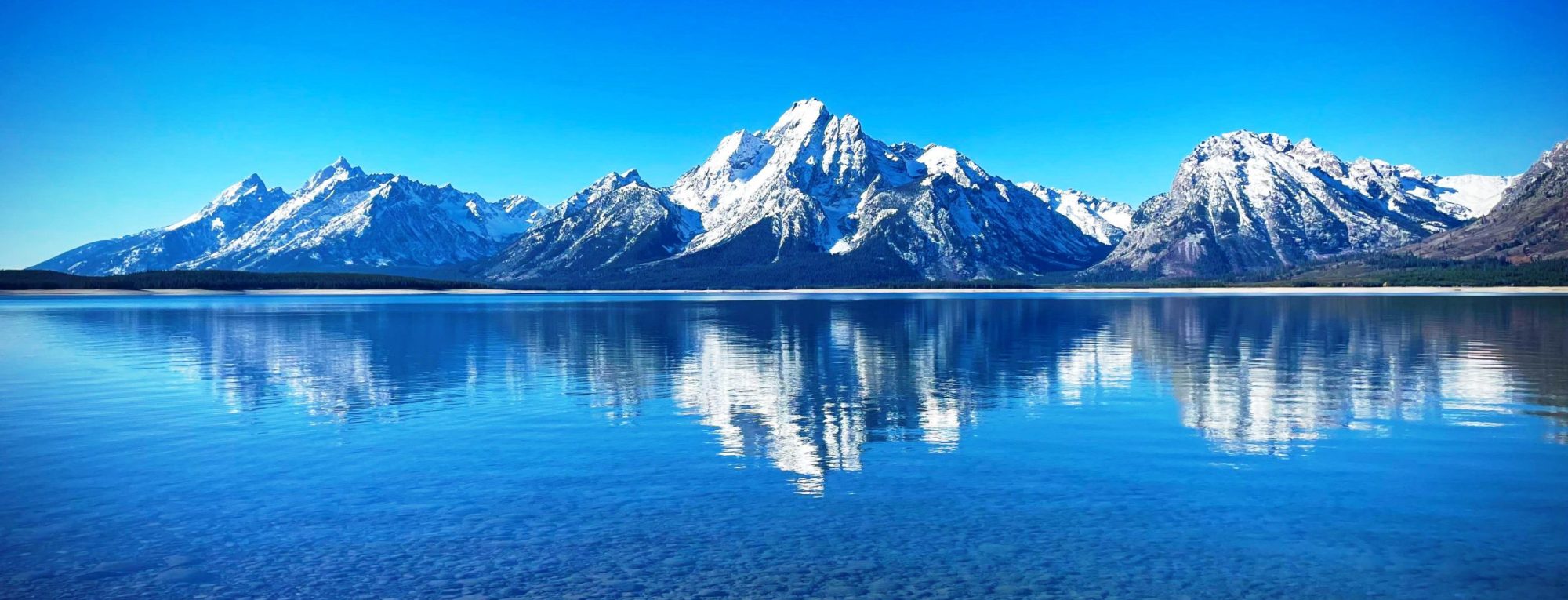
Aiguille du Belvédère is a mountain of Haute-Savoie, France. It is the highest peak in the Aiguilles Rouges range of the French Prealps and has an altitude of 2,965 metres (9,728 ft) above sea level. Lying to the northwest of Chamonix, Aiguille du Belvedere is a popular climb as its position high above the Chamonix valley provides it with fantastic views of the Mont Blanc massif to its east and the Bernese Alps to its north. Lac Blanc lies on its eastern slopes. from Wikipedia, the free encyclopedia
The Aiguille Dibona, formerly called (Aiguille du) Pain de Sucre du Soreiller (3,130 m (10,269 ft)), is a mountain in the Massif des Écrins in the French Alps notable for its “astonishing triangular granite spear.” Because of its singular shape, ease of access, and the exceptional quality of its granite, the many routes on the mountain are among the most popular in the Écrins. Formerly called Pain de Sucre du Soreiller, it was renamed for Angelo Dibona, the Dolomites guide and mountaineer, who made the first ascent of the mountain on 27 June 1913 with Guido Mayer. At the foot of the mountain is the refuge du Soreiller, accessible in 3h30m from the...
Aiguille des Arias is a mountain of the French Alps in Isère. Located in the Massif des Écrins, the mountain is 3,403 m tall. The mirror of Fétoules is a lake that has reflection of Tête de Lauranoure (3323 m) to right Le Bec du Canard (3269 m) and the l’Aiguille des Arias (3403 m) in the center. from Wikipedia, the free encyclopedia
The Aiguille des Angroniettes is a mountain of the Pennine Alps, located on the border between Switzerland and Italy. It lies on the main Alpine watershed, west of the Grand Golliat. from Wikipedia, the free encyclopedia
The Aiguille de Toule (3,534 metres (11,594 ft)) is a mountain peak in the Mont Blanc massif of the Alps. Its summit is one of a number which form part of the mountainous frontier ridge between France and Italy which descends eastwards from Mont Blanc and continues towards the Grandes Jorasses and Mont Dolent. It is situated at the head of the Géant Glacier. It lies east of the Aiguilles d’Entrèves (from which it is separated by the Col Orientale de Toule) and west of the Grand Flambeau (from which it is separated by the Col Occidental de Toule.) It is sometimes referred to as the Aiguille de Toula. from Wikipedia, the free encyclopedia
Aiguille de Scolette (in French) or Pierre Menue (in Italian) is a mountain of Savoie (F) and of the province of Turin (I). It lies in the Cottian Alps and has an elevation of 3,506 metres above sea level. from Wikipedia, the free encyclopedia
El Cerro Del Winora is an extinct volcano that is part of the Sierra Madre Occidental mountain range in the Mexican state of Chihuahua located in the municipality of Guadalupe y Calvo. El Cerro Del Winora is the highest point in the state of Chihuahua reaching an elevation of 10,827 ft (3,300 m) above sea level. The climate of the mountain is extremely cold in the winter and temperate to semi-cold in the summer. from Wikipedia, the free encyclopedia
Black Mountain is a prominent mountain summit in the Elkhead Mountains range of the Rocky Mountains of North America. The 10,865-foot (3,312 m) peak is located in Routt National Forest, 20.9 miles (33.6 km) north-northeast (bearing 25°) of the City of Craig in Moffat County, Colorado, United States. Black Mountain is the highest point in Moffat County. from Wikipedia, the free encyclopedia
Mount Nelson is a prominent 3,313-metre (10,869-foot) mountain summit located in the Purcell Mountains of southeast British Columbia, Canada. It is situated on the west side of Rocky Mountain Trench, 23 km (14 mi) west of Invermere, and 8 km (5.0 mi) west of Panorama Mountain Resort. Sitting atop the peak is a 5 foot tall aluminum cross that marks the summit and acts as a storage unit for the summit register. It was built and erected in 1986 by the Kloos family out of Invermere, BC from Wikipedia, the free encyclopedia
Mount Chown is Alberta’s 36th highest peak. It is named after the Reverend Samuel Dwight Chown. It is located in the northwest corner of Jasper National Park on the border with the Willmore Wilderness Park. It lies between the Chown and Resthaven Glaciers. from Wikipedia, the free encyclopedia
