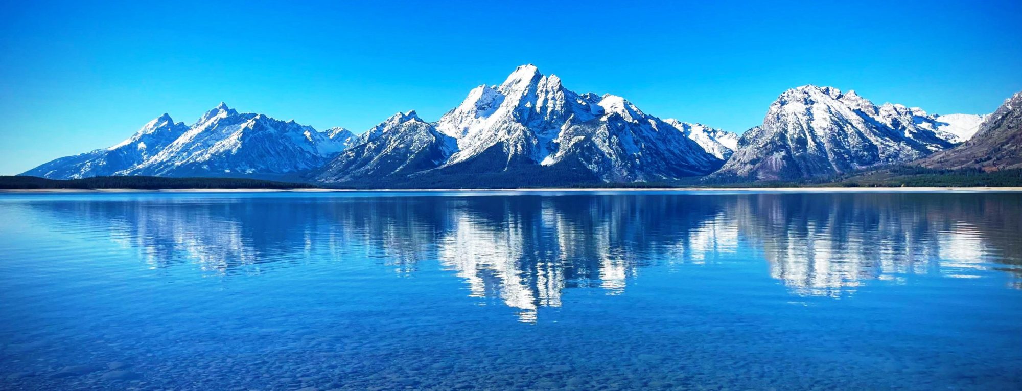
The Hocheisspitze is a 2,523 m high mountain in the Berchtesgaden Alps, over which the border between Germany and Austria runs. It is also the highest mountain in the eponymous Hocheis Group that belongs to the Hochkalter Massif. The first reported ascent of the Hocheisspitze was by Hermann von Barth on 6 September 1868, although it is suspected that the mountain had been climbed much earlier. The unmarked normal route runs over the Hocheis Cirque (Hocheiskar) up to the summit from the west. The top can also be reached over the sharp ridge between the Kammerlinghorn (2,484 m) and the Hocheisspitze. However, that requires sections of UIAA grade II-III to be climbed. In winter ski mountaineers undertake ski tours of the...
Hocheiser (3,206m) is a mountain in the Glockner Group of the High Tauern in the state of Salzburg, Austria. Located between the Stubach and Kaprun valleys, Hocheiser is an impressive sight from the west. It is usually climbed from the Stubach side and provides excellent views of nearby mountains such as Großglockner, Grossvenediger and Grosses Wiesbachhorn from its summit from Wikipedia, the free encyclopedia
Hocheck is a mountain in the district of Rosenheim, Bavaria, Germany. It is closely associated with the nearby town of Oberaudorf. The mountain is about 860 metres high. The summit can be reached in about 50 minutes by foot or in about 10 minutes by cable car from Oberaudorf. From the top there is a view of Kranzhorn and Spitzstein. The cable car station is accessible by car, approximately a five-minute drive from the motorway exit for Oberaudorf. The mountain hosts a resort that has been renovated in the last 10 years with a new 4-chair lift, an illuminated night ski-slope, and a modern snowmaking system. The resort...
The Hochblassen is a mountain 2,706 metres (8,878 ft) high, located in the Wetterstein in the German state of Bavaria. In addition to the main summit, it has a sub-peak, the so-called Signalgipfel (“signal peak”) which is 2,698 metres (8,852 ft) high. It was first climbed in 1871 by Hermann von Barth and Peter Klaisl. The mountain is made of Wetterstein limestone and lies about 4.5 kilometres east of Germany’s highest peak, the Zugspitze. It is part of the east–west ridge of the Höllentalgrat. One kilometre northeast, separated by the Grießkarscharte, lies the Alpspitze (2,628 m). To the north, to Grießkar, the mountain has a very steep and rugged face, about 500 metres high. To the south, above the Rein valley, the...
Hocharn (3,254m) is the highest mountain of the Goldberg Group in the High Tauern range of the eastern Alps. It is located near the town of Bad Hofgastein and is situated in the Austrian state of Salzburg. The mountain has glaciers on its east, west and north sides. Climbs usually start from the Rauris valley. Although a demanding climb with about 1,700m of ascent, the climb is not technical. Another route starts at Heiligenblut from Wikipedia, the free encyclopedia
The Hochalmspitze (3,360 metres above the Adriatic (11,020 ft)) is located east of Mallnitz in the Austrian state of Carinthia. It is sometimes called “Tauern Queen” (German: Tauernkönigin) as a counterpart to the “Tauern King”, the Grossglockner. The peak is situated slightly south the main ridge of the Central Eastern Alps and the Alpine divide. It actually consists of two pinnacles, the Schneeige Hochalmspitze and the higher Apere (“snowless”) Hochalmspitze with the summit cross. It has glaciers on its eastern and southern sides. The neighbouring Großelendkopf peak, at 3,317 m (10,883 ft), today counts as a separate mountain. Like most of the High Tauern, the Hochalmspitze massif is formed of granite and gneiss, and many unusual rock formations can be found on its slopes. The mountain lies at the...
The Höch Turm is a mountain in the Schwyzer Alps, located in an elevation of 2,666 m (8,747 ft). It lies west of the resort village of Braunwald on the karstic range between the valleys of Muota and Linth. Administratively, the mountain lies in the municipality of Muotathal, in the canton of Schwyz from Wikipedia, the free encyclopedia
The Höch Gumme (2,205 m) is a mountain of the Emmental Alps in Switzerland. It lies to the east of the Brienzer Rothorn and Arnihaaggen, and the west of the Wilerhorn and Brünig Pass. The Schönbüel cable car station (2,011 m) is on its eastern flank. Administratively, the summit is shared between the municipalities of Giswil, to the north-west, Lungern to the east, and Hofstetten bei Brienz, to the south. Hofstetten bei Brienz is in the canton of Bern, whilst Giswil and Lungern are in the canton of Obwalden. from Wikipedia, the free encyclopedia
The Hoch Fulen is a mountain of the Glarus Alps, located east of Erstfeld in the Uri. It lies in the group north-west of the Gross Windgällen, between the Reuss valley and the Schächental. from Wikipedia, the free encyclopedia
The Hirsihorn (also known as Pointe de la Forcletta) is a mountain of the Swiss Pennine Alps, located east of Ayer in the canton of Valais. It lies between the valleys of Anniviers and Turtmann, north of the Forcletta pass. from Wikipedia, the free encyclopedia
