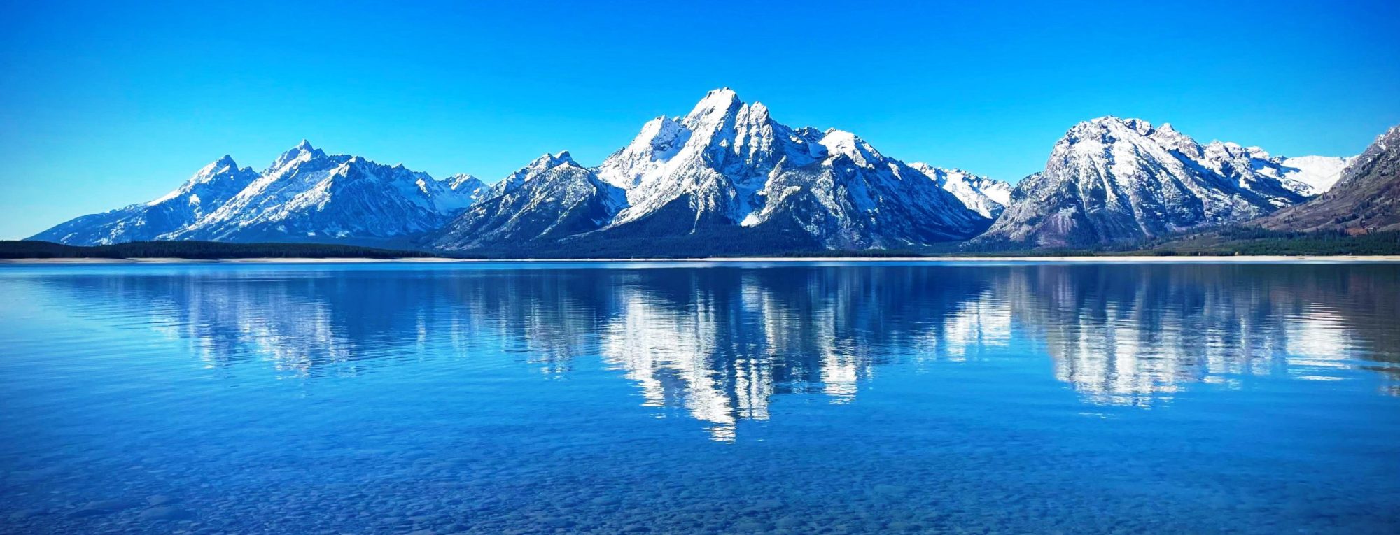
Freel Peak is a mountain located in the Carson Range, a spur of the Sierra Nevada, near Lake Tahoe in California. The peak is on the boundary between El Dorado County and Alpine County; and the boundary between the Eldorado National Forest and the Humboldt-Toiyabe National Forest. At 10,886 feet (3,318 m), it is the tallest summit in the Carson Range, El Dorado County, and the Tahoe Basin. Due to its elevation, most of the precipitation that falls on the mountain is snow. In 1893, the U.S. Geological Survey assigned the name Freel Peak to what was then known as Jobs Peak. James Freel was an early settler in the area. from Wikipedia, the free encyclopedia
Ejnar Mikkelsen Range (Danish: Ejnar Mikkelsen Fjeld) is a mountain range in King Christian IX Land, eastern Greenland. Administratively it is part of the Sermersooq Municipality. The range is part of the greater Watkins Range and is named after Danish polar explorer Ejnar Mikkelsen. The highest peak is one of the most impressive mountains in Greenland and has a good reputation among alpinists. It was first climbed in 1970 by Andrew Ross leading a Scottish team, and for the second time in 1998 by Roland Aeschimann leading a Swiss team. from Wikipedia, the free encyclopedia
The Laramie Mountains are a range of moderately high peaks on the eastern edge of the Rocky Mountains in the U.S states of Wyoming and Colorado. The range is the northernmost extension of the line of the ranges along the eastern side of the Rockies, and in particular of the higher peaks of the Front Range directly to the south. North of the range, the gap between the Laramie range and the Bighorn Mountains provided the route for historical trails, such as the Oregon Trail, the Mormon Trail, and the Pony Express. The Laramie Mountains begin in northern Colorado and extend discontinuously into southeastern Wyoming between Cheyenne and Laramie and northward to Casper. (By some definitions the Laramies are only in Wyoming.) They...
Mount Fryatt is Alberta’s 26th highest peak. In 1920, it was named after Captain Charles Fryatt, a British merchant seaman who was executed by the Germans during World War I. It lies within peaks that are between the Athabasca and Whirlpool Rivers in Jasper National Park. from Wikipedia, the free encyclopedia
Mount Edith Cavell is a mountain located in the Athabasca River and Astoria River valleys of Jasper National Park, and the most prominent peak entirely within Alberta. The mountain was named in 1916 for Edith Cavell, a British nurse executed by the Germans during World War I for having helped Allied soldiers escape from occupied Belgium to the Netherlands, in violation of German military law. It was previously known as Mount Fitzhugh. A close-up view of the north face of Mount Edith Cavell is visible after a short hike to Cavell Meadows. The trailhead is by the parking lot at the end of Mount Edith Cavell Road. The trail to the meadows is...
Deseret Peak is the highest peak in the Stansbury Mountains with an elevation of 11,035 ft. It is located in the Deseret Peak Wilderness area west of Grantsville, Utah and east of Skull Valley Indian Reservation. It is the fourth most topographically prominent peak in the state of Utah. The site is a popular destination for hikers and backcountry skiers as the area is a contrast of the alpine wilderness with the surrounding desert basin. The trail that leads to the peak is easily accessible from Salt Lake City. The mountain offers views of the Bonneville Salt Flats, the Great Salt Lake, and the surrounding towns and mountain ranges. On a clear day, it is possible...
Mammoth Mountain is a lava dome complex partially located within the town of Mammoth Lakes, California, in the Inyo National Forest of Madera and Mono Counties. It is home to a large ski area primarily on the Mono County side. Mammoth Mountain was formed in a series of eruptions that ended 57,000 years ago. Mammoth still produces hazardous volcanic gases that kill trees and caused ski patroller fatalities in 2006 from Wikipedia, the free encyclopedia
Telescope Peak is the highest point within Death Valley National Park, in the U.S. state of California. It is also the highest point of the Panamint Range, and lies in Inyo County. From atop this desert mountain one can see for over one hundred miles in many directions, including west to Mount Whitney, and east to Charleston Peak. The mountain was named for the great distance visible from the summit. from Wikipedia, the free encyclopedia
Mount Foresta is an 11,000+ ft (3,350+ m) multi-peak massif located in Wrangell–St. Elias National Park, in the Saint Elias Mountains of Alaska in the United States. Rising high above the lower western margin of the Hubbard Glacier, the summit of Mount Foresta is just over 9 mi (14 km) from tidewater at Disenchantment Bay, 12 mi (19 km) northwest of Mount Seattle, 14.5 mi (23 km) southeast of Mount Vancouver, and 46 mi (74 km) north of Yakutat. from Wikipedia, the free encyclopedia
South Baldy is the highest point of the Magdalena Mountains in central New Mexico, in the United States. It is in the Magdalena Ranger District of the Cibola National Forest, about 9 mi (15 km) south of Magdalena and 18 mi (30 km) west-southwest of Socorro. It lies just north of the Langmuir Laboratory for Atmospheric Research of the New Mexico Institute of Mining and Technology, and site of the Magdalena Ridge Observatory Interferometer. South Baldy can be accessed easily from the dirt road leading to Langmuir. Alternately, it can be accessed by trail from below. From a campground in Water Canyon (accessed from the northeast side of the range), a trail follows Forest Road 406...
